DRAFT: PLACEHOLDER STUDY. SET `ART_IS_DRAFT = false` IN lib/art.ts TO PUBLISH.
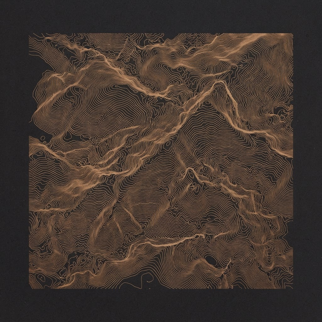
Contour Field
Elevation lines traced from value noise: cartography without a map.
THE STORY
This one started as a debugging session that got away from me. I was visualising a heatmap of disk latency across a fleet and realised the marching-squares pass I'd written to draw the isolines was prettier than the dashboard it belonged to.
So I ripped it out and fed it pure value noise instead of real telemetry. Every ring is an equal-value contour through a 2D noise field, the same maths a topographic map uses to draw elevation, except there's no terrain underneath. It's cartography of a place that doesn't exist.
I kept the palette to a single bronze on black so the density of the lines does all the work. Printed large, the moiré where the rings crowd together reads almost like brushed metal.